Clyde North Precinct Structure Plan (PSP) 2011
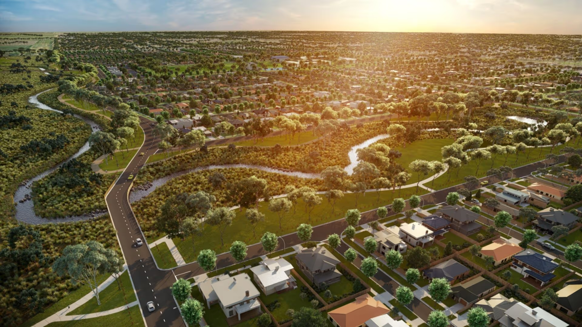
The Clyde North Precinct Structure Plan supports the provision of works, services, and facilities to be used by the future community of Clyde North.
Password Reset
Please enter your email address below to reset your password
Please check your email inbox for further instructions
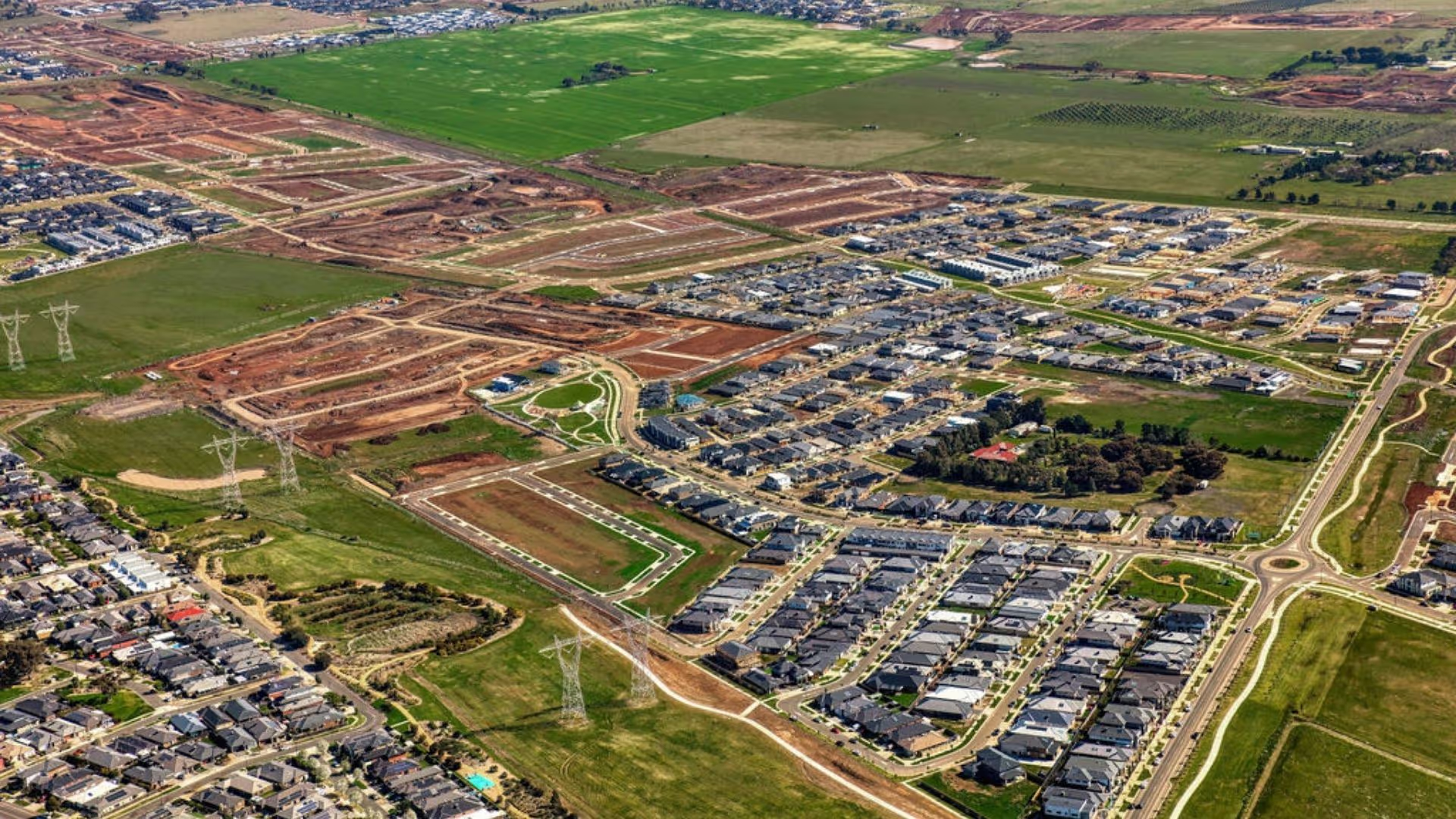
Clyde North located 47 km south-east of Melbourne's Central Business District (CBD). Its local government area is the City of Casey. Clyde North is a predominantly rural area. Major features in the local and broader areas include Clyde Recreation Reserve, La Fontaine Winery and schools.
People
Clyde North’s population is dominated by established and older families.
Lifestyle
Clyde North has a developing business hub of its own and is also well-serviced by trains into the CBD. In addition to train and bus services the suburb has nearby shopping Centre, Selandra Rise and primary and secondary schools.
Homes
New homes dominate Clyde North’s housing stock.
Population
The nature and size of the local population, both now and in the future, is a key driver of property demand. Better understanding the local population can assist property buyers to make better decisions.People
Total Population
Female
Male
Median Age
Family Composition
Families
Children per family
Occupation
Total Employed
Top Occupation
Top Occupation % Share
Income $/week
Personal
Family
Household
Family composition
Couple without Children
Couple with Children
One Parent Family
Age
Top age group
Top age number
Top age group % share
Industry of employment
Top Industry
Total Workers (in top industry)
Share of Employment
Dwelling Type (number)
Detached houses
Semi-detached houses
Flats, units or apartments
Dwelling tenure (number)
Owned outright
Owned with a mortgage
Rented
Location & Convenience
The Clyde North Precinct Structure Plan supports the provision of works, services, and facilities to be used by the future community of Clyde North.
Roads & Public transport
Bus
796 - Cranbourne - Clyde
Tram
Train
Roads
Berwick-Cranbourne Road
Victorian data sourced from Public Transport Victoria (PTV) and VicRoads
Queensland data sourced from Queensland Government and TransLink
Employment Centres
The planned Thompsons Road precinct in Clyde North includes a town centre on Hardys Rd and land for private medical facilities to create 8500 jobs for local residents.
Plan Melbourne, the metropolitan planning strategy, establishes five new sub-regions to achieve a better balance between jobs and population growth across the city. Clyde North is located in Melbourne's southern sub-region.
Places of state significance in the southern sub-region with significant implications for employment include:
National employment cluster – Dandenong South
Metropolitan activity centres – Dandenong, Frankston, Fountain Gate/Narre Warren
State-significant industrial precincts – Southern, Port of Hastings and identified future industrial precinct
Transport gateways – Port of Hastings, Moorabbin Airport
Health and/or education precincts – Frankston Hospital and Monash University (Frankston), Casey Hospital and Monash University (Berwick), Dandenong Hospital, Monash University (Caulfield).
Source: Australian Bureau of Statistics (ABS) 2011.