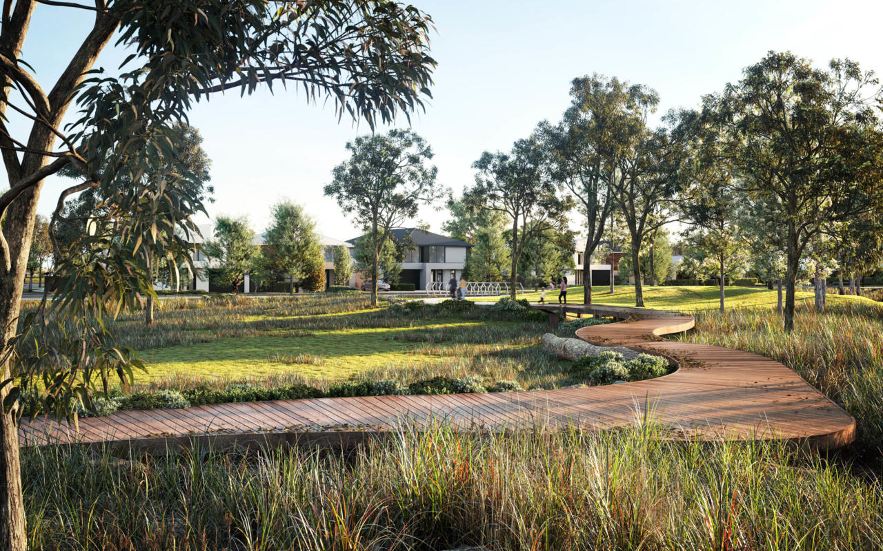
Featured Projects
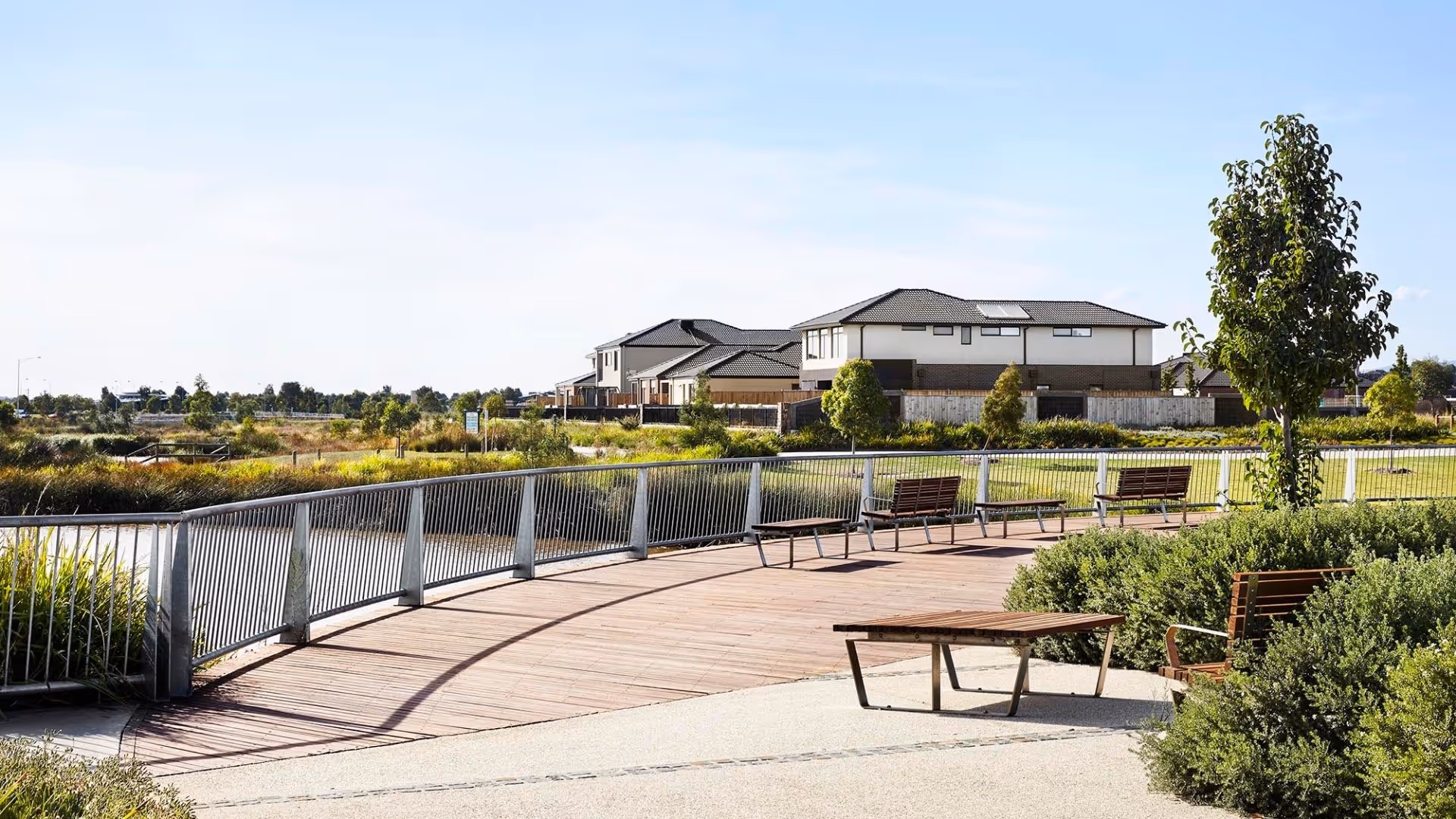
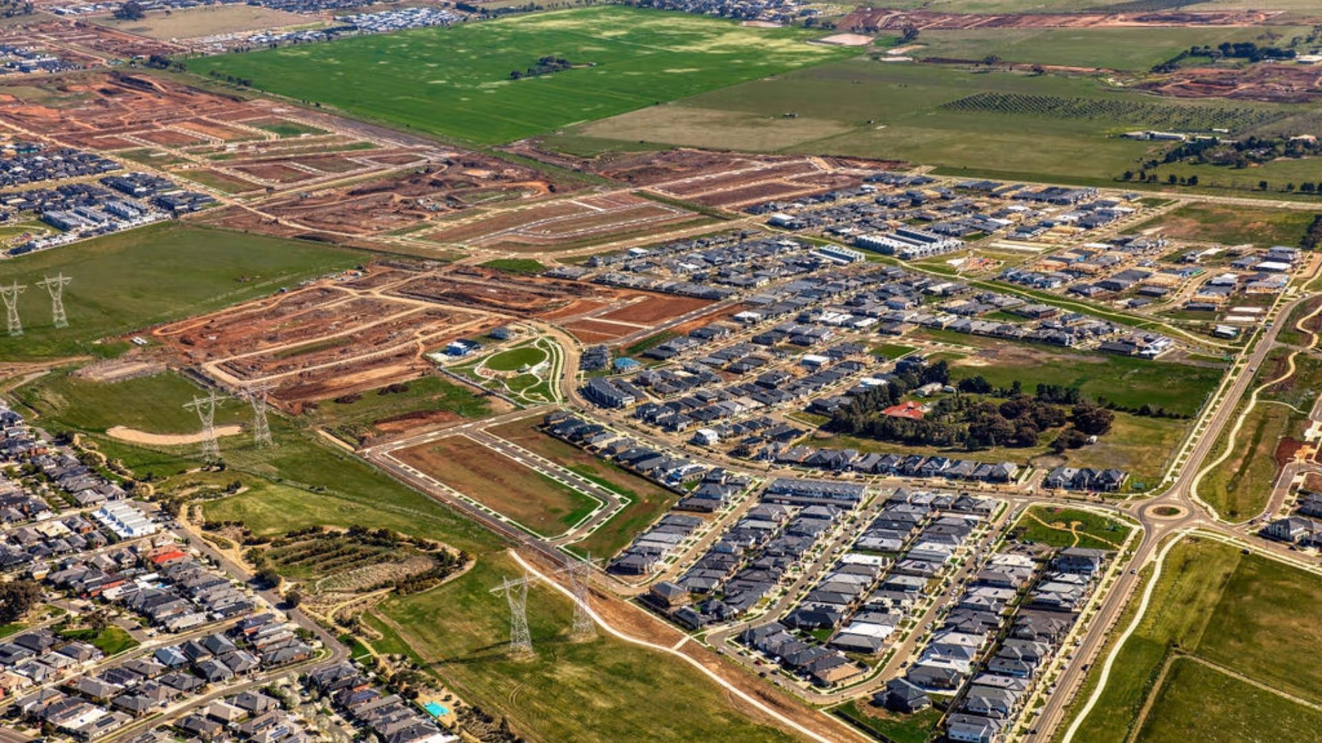
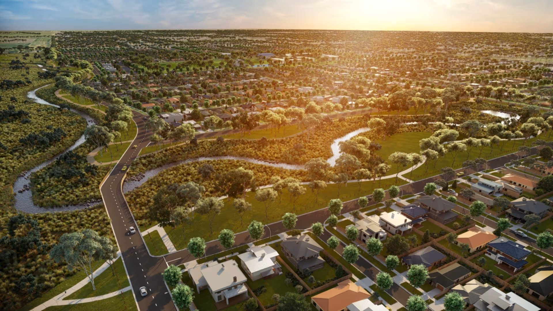
Berwick Waters
Featured Projects
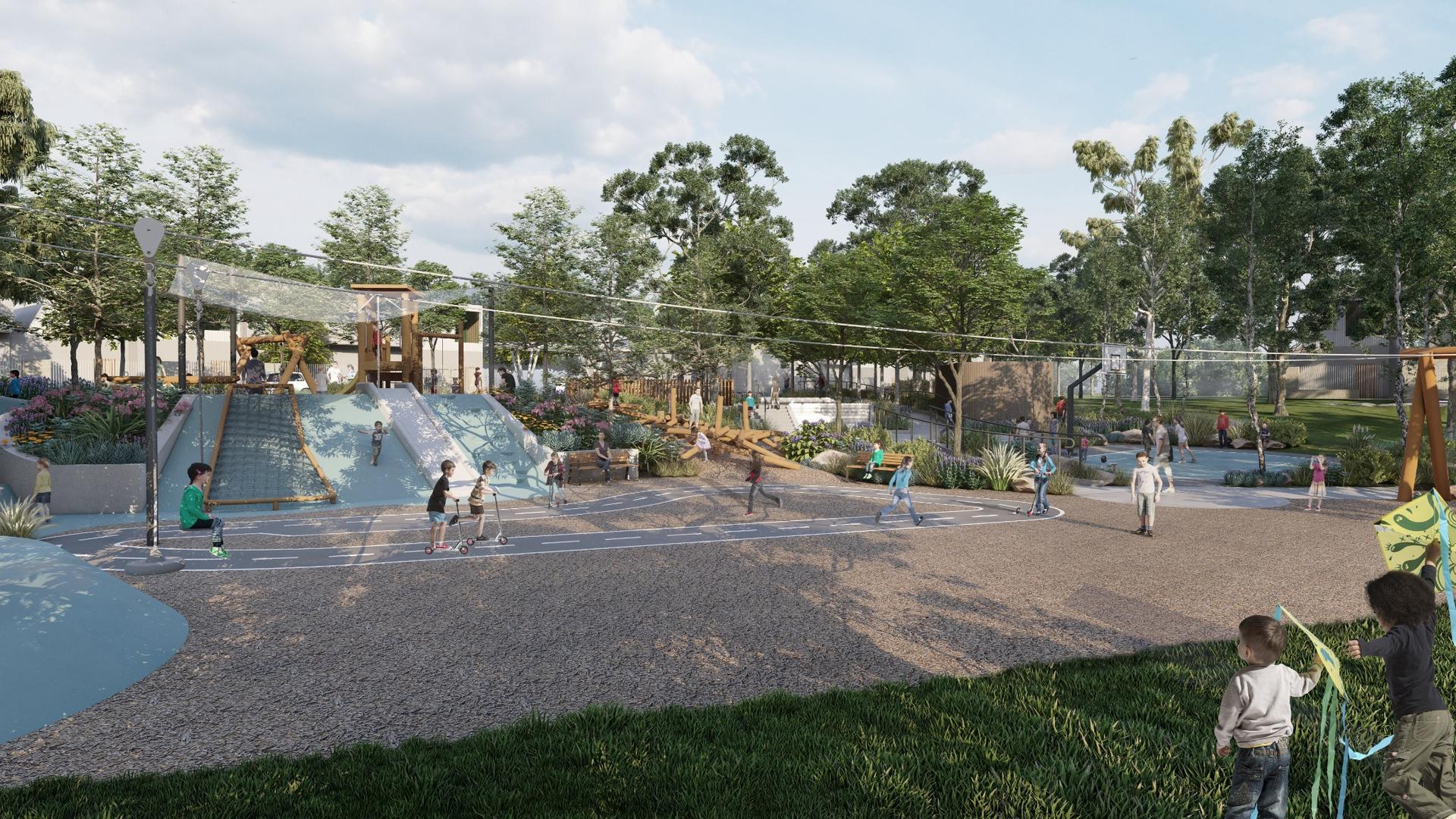
Oakden Rise
Featured Projects
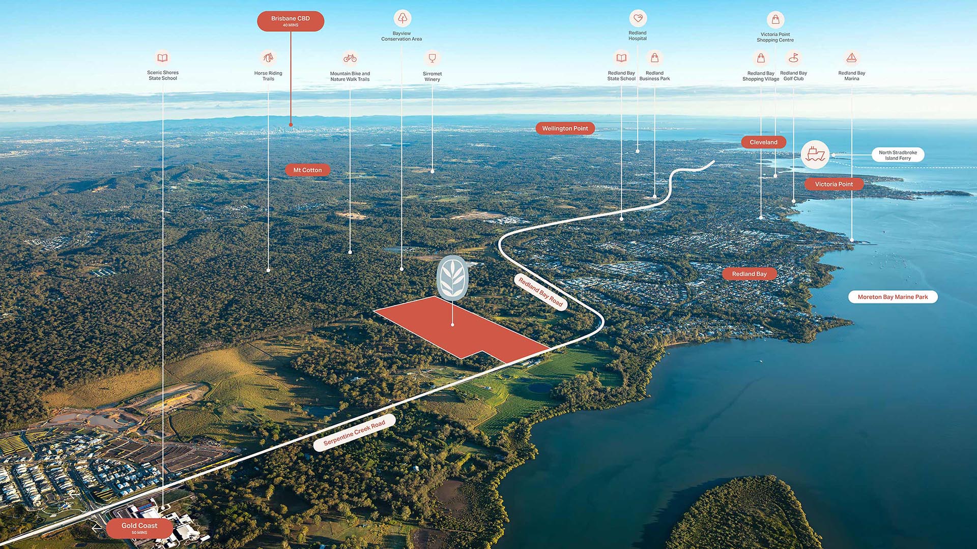
Baya
Thank you! Your submission has been received!
Oops! Something went wrong while submitting the form.
Showing 00 Results

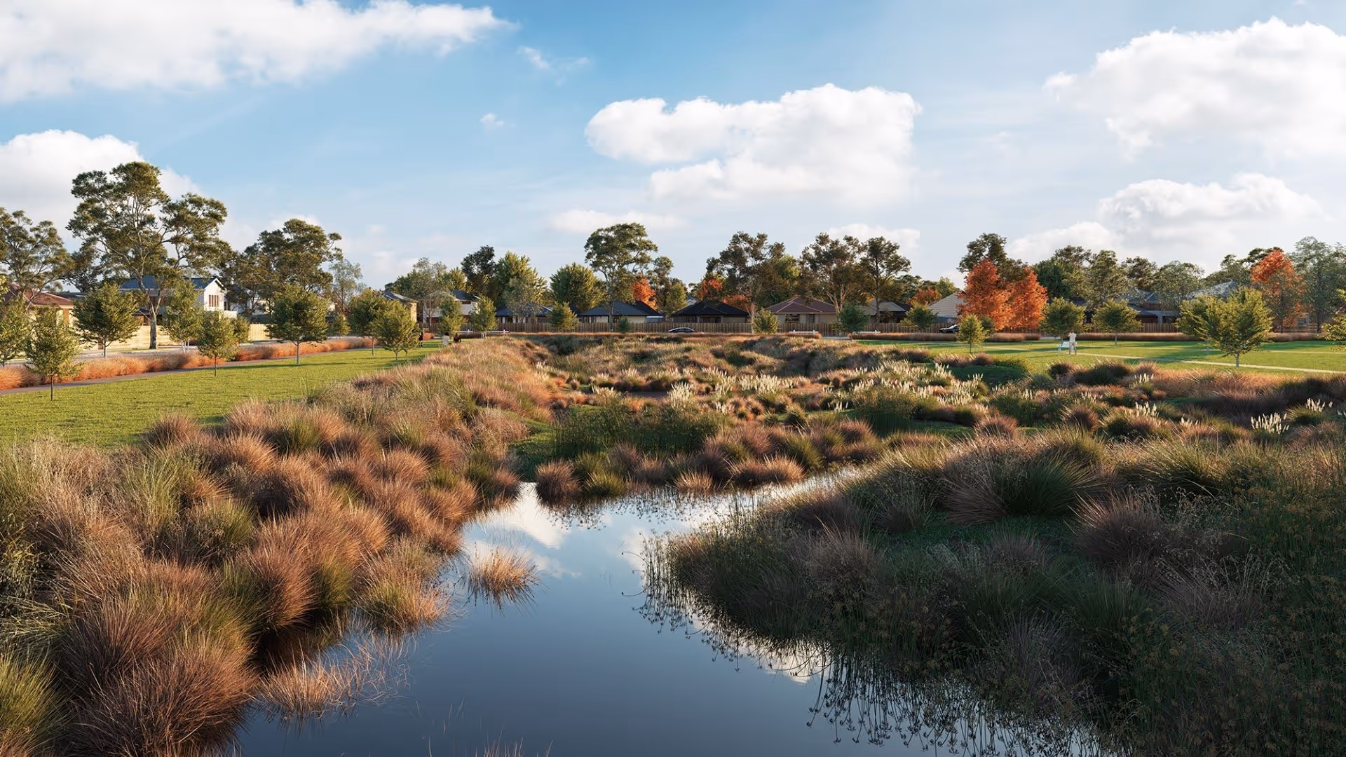
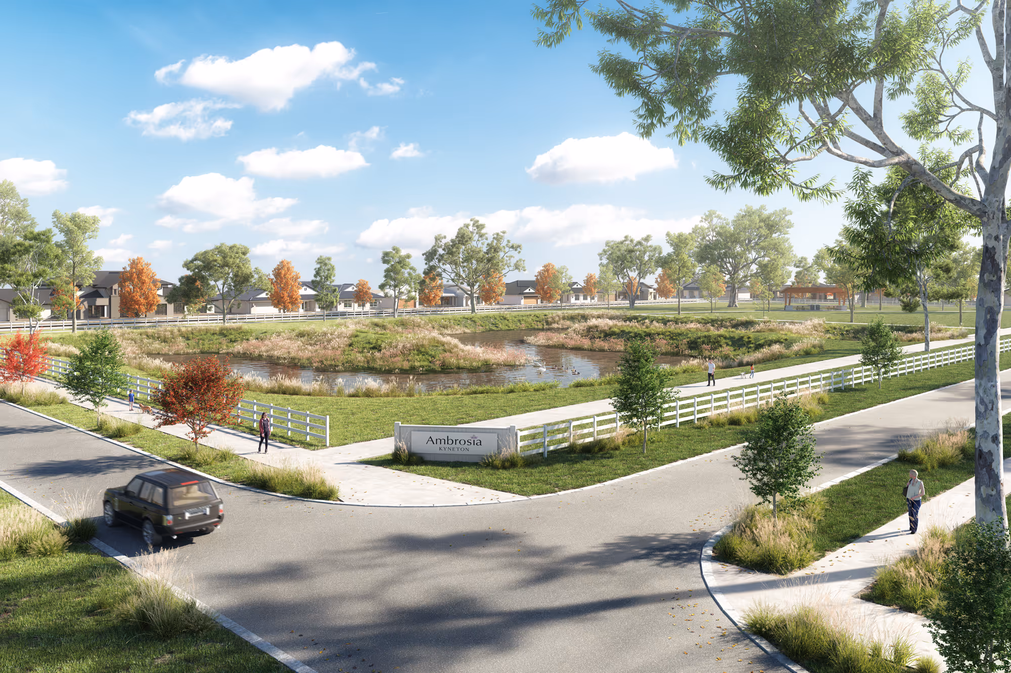
Ambrosia
Region
Macedon Ranges
State
Victoria
Kyneton
Land
House & Land

Bankside
Region
Knox
State
Victoria
Rowville
Townhouses
Land
House & Land
Track Record
From landmark developments to lasting partnerships, our results speak for themselves. Here's a glimpse of Oliver Hume’s impact on the property market.
25
%
of all greenfield suburbs created and marketed
.avif)
#
1
largest privately owned project marketing firm in Australia
Key Differences
Distinctive approach, innovative solutions, and expertise across every property segment

Integrated expertise
By combining research, marketing, advisory, and management, we create a seamless experience for clients and partners.
Innovation-driven
At Oliver Hume, we continually adopt new technologies, design strategies and marketing tools, to deliver smarter developments and stronger project outcomes.
.avif)
Enquire today and get the edge in property


Privacy policy. Privacy Collection Statement. Disclaimers.
© Copyright 2025. Powered by TAG