The South East Queensland Regional Plan 2009-2031
The Plan is designed to guide regional growth and development in South East Queensland.
Password Reset
Please enter your email address below to reset your password
Please check your email inbox for further instructions
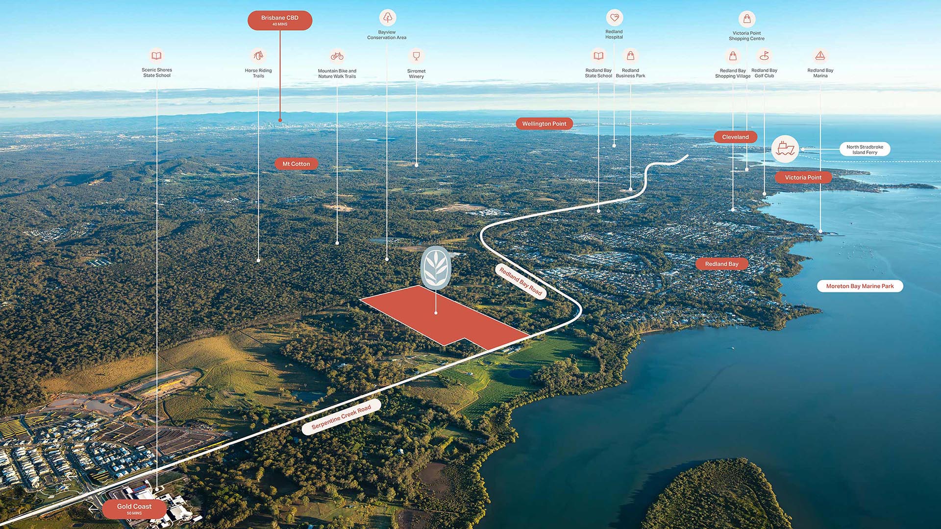
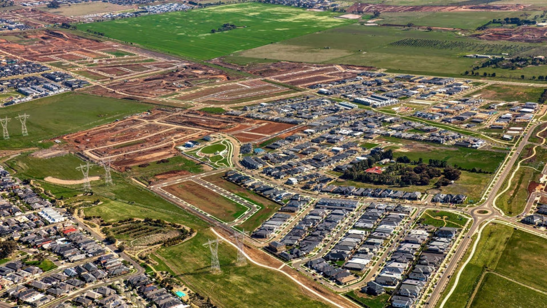
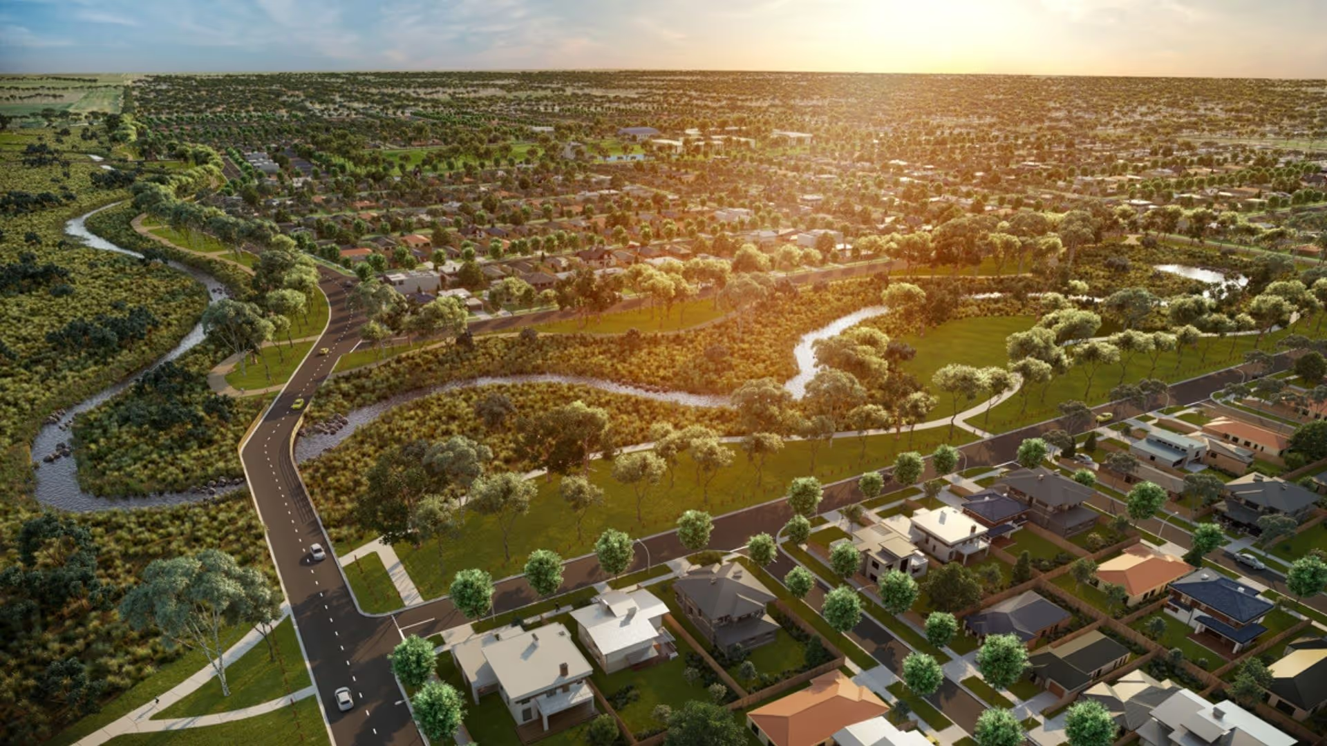
Ripley is located 41km south-west of Brisbane’s Central Business District (CBD). Its local government area is the City of Ipswich.
Ripley is forecast to be one of the most important growth areas in South East Queensland and one of the largest employment growth areas in Australia.
People
Ripley’s population is dominated by established and older families.
Lifestyle
Residents of Ripley enjoy easy access to a diverse range of amenities at nearby Springfield and Ipswich which offer a wide selection of schools, universities, shopping, health care, businesses and work opportunities.
Homes
New homes dominate Ripley’s housing stock.
Population
The nature and size of the local population, both now and in the future, is a key driver of property demand. Better understanding the local population can assist property buyers to make better decisions.People
Total Population
Female
Male
Median Age
Family Composition
Families
Children per family
Occupation
Total Employed
Top Occupation
Top Occupation % Share
Income $/week
Personal
Family
Household
Family composition
Couple without Children
Couple with Children
One Parent Family
Age
Top age group
Top age number
Top age group % share
Industry of employment
Top Industry
Total Workers (in top industry)
Share of Employment
Building approvals - New Houses
Total Number
Value ('000)
% Share
* These statistics are financial year to date
Building approvals - Other
Total Number
Value ('000)
% Share
* These statistics are financial year to date
Dwelling Type (number)
Detached houses
Semi-detached houses
Flats, units or apartments
Dwelling tenure (number)
Owned outright
Owned with a mortgage
Rented
Location & Convenience
The Plan is designed to guide regional growth and development in South East Queensland.
Produced by the Queensland Department of Infrastructure and Planning, this plan outlines estimated infrastructure investment across South East Queensland to 2031.
Roads & Public transport
Bus
Tram
Train
Springfield Line: Springfield to Bowen Hills
Express Link connecting Ripley and Ipswich (proposed)
Urban Link connecting Springfield to Darra (proposed)
Roads
Ipswich Motorway (linking to Brisbane)
Cunningham Highway (linking to Warwick)
Warrego Highway (linking to Toowoomba)
Logan Motorway and its connection to the Pacific Motorway (linking to Logan and the Gold Coast)
Centenary Highway (linking Springfield and the Ripley Valley to Brisbane)
Victorian data sourced from Public Transport Victoria (PTV) and VicRoads
Queensland data sourced from Queensland Government and TransLink
Employment Centres
A $1.5 billion development of the Ripley Town Centre is set to cater to the region’s projected population of 120,000 people and 50,000 residential dwellings, over the next 20 years. The primary town centre for the Ripley Valley region is set to deliver a major regional shopping centre, a transit centre, health and education facilities, cafés and restaurants, parks and community facilities.
Activity Centres include Ipswich CBD, Greater Springfield Ripley Town Centre (proposed) and Providence Town Centre (proposed).
Several education providers are nearby including in the region including University of Southern Queensland and TAFE Queensland South West.
A range of medical, health and wellbeing providers are also nearby including Mater Private Hospital Springfield, Ipswich Hospital, St Andrew's Private Hospital and many specialist medical services.
Source: Australian Bureau of Statistics (ABS) 2011.